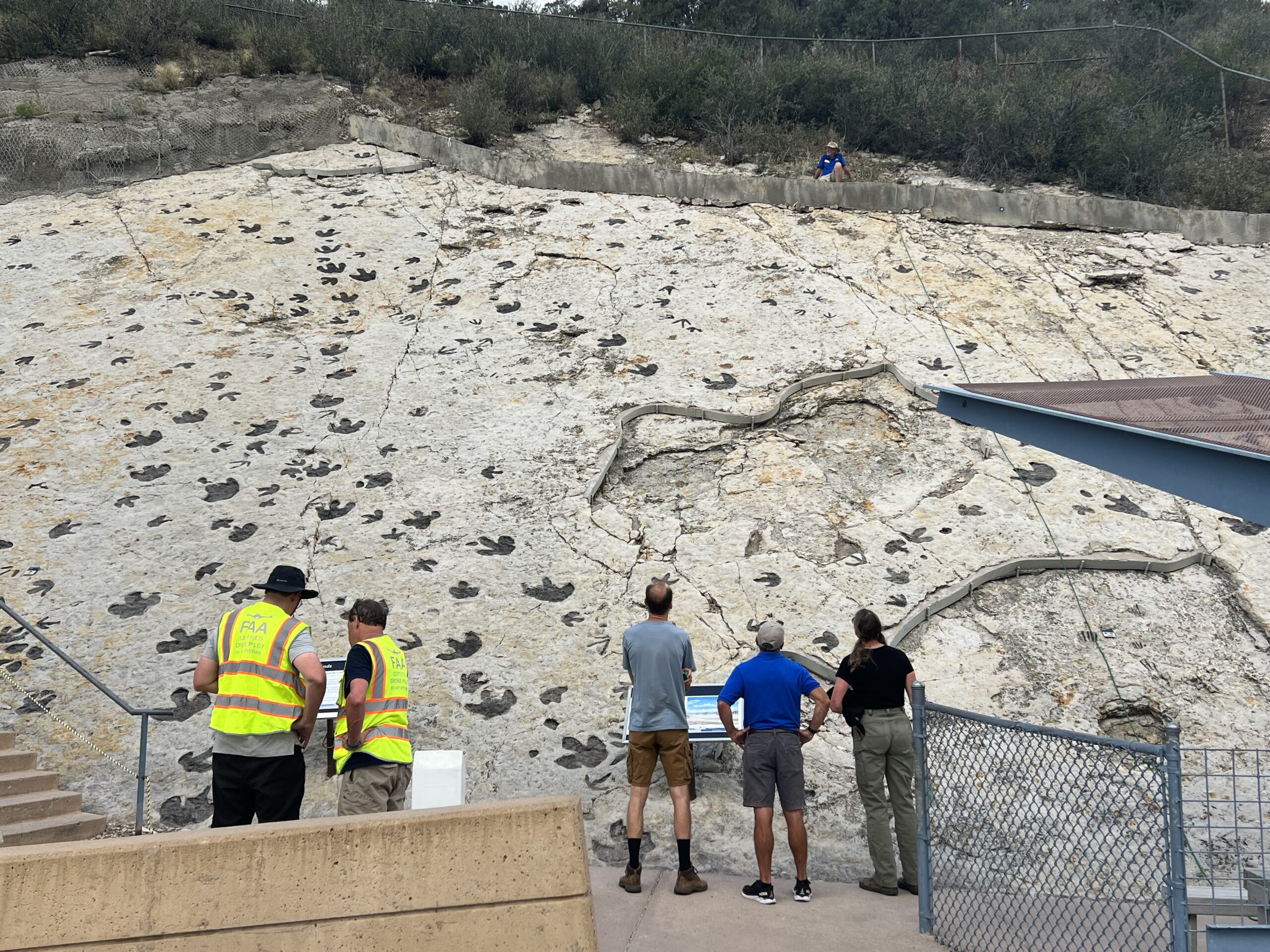
Erosion is damaging America’s #1 dinosaur tracksite, but to what degree and how quickly are unknowns. New mapping efforts will set the baseline for measuring how much wind, water, plant life, and gravity are conspiring to wipe away footprints made millions of years ago and uncovered in a 1937 road project between Denver and Red Rocks Amphitheatre.
“Tears came to my eyes,” said photogrammetrist Neffra Matthews when Jefferson County Open Space (JCOS) Director Tom Hoby announced funding for the annual project. “Funding is always a struggle, so to hear that commitment was a great relief,” said the recently retired U.S. Bureau of Land Management (BLM) geographer who has been studying the tracksite more than 20 years.
Matthews’ pioneering photogrammetry work at the site will enhance the new study led by top mitigation paleontologist Dr. Paul Murphey, who has devised fossil track protection plans around the country. “The photogrammetric data will not only be used to generate a high resolution map of the site, but will be used to create a 3D model that can enable a recreation of the track surface in the event of catastrophic damage such as a landslide,” Dr. Murphey said.
Drone photography using a digital SLR camera combined with 3D mapping will define and measure the depth of footprints in the sloping rock surface. Images will then be compared year-over-year to pinpoint even tiny changes. The main tracksite at Dinosaur Ridge contains more than 250 individual dinosaur footprints, one reason it has been ranked number one by paleontologists including Dr. Martin Lockley, who will also take part in the effort along with award winning photographer Lance Murphey.
In 1973, JCOS took ownership of the land which includes the area now known as Dinosaur Ridge the same year the U.S. Department of the Interior designated the Morrison Fossil Area National Natural Landmark (NNL).
The nonprofit Friends of Dinosaur Ridge (FODR) formed in 1989 with a mission of preserving the natural resources along the roadway that spans the fossiliferous segment of Dakota hogback. FODR operates under a license agreement with JCOS to provide expert educational programming.